Quick estimate
- Instant results from the geometry
- Concept selection and sizing
- Stability and performance included

A commercially available, planet-scale digital twin for aircraft: 80+ aircraft models, global 3D terrain and weather, multi-modal sensors and air traffic, with 20+ runs in parallel at 50 times real time. The flight-test range, moved into software.
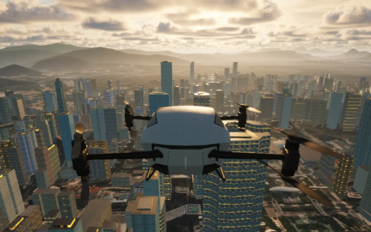 Sunrise
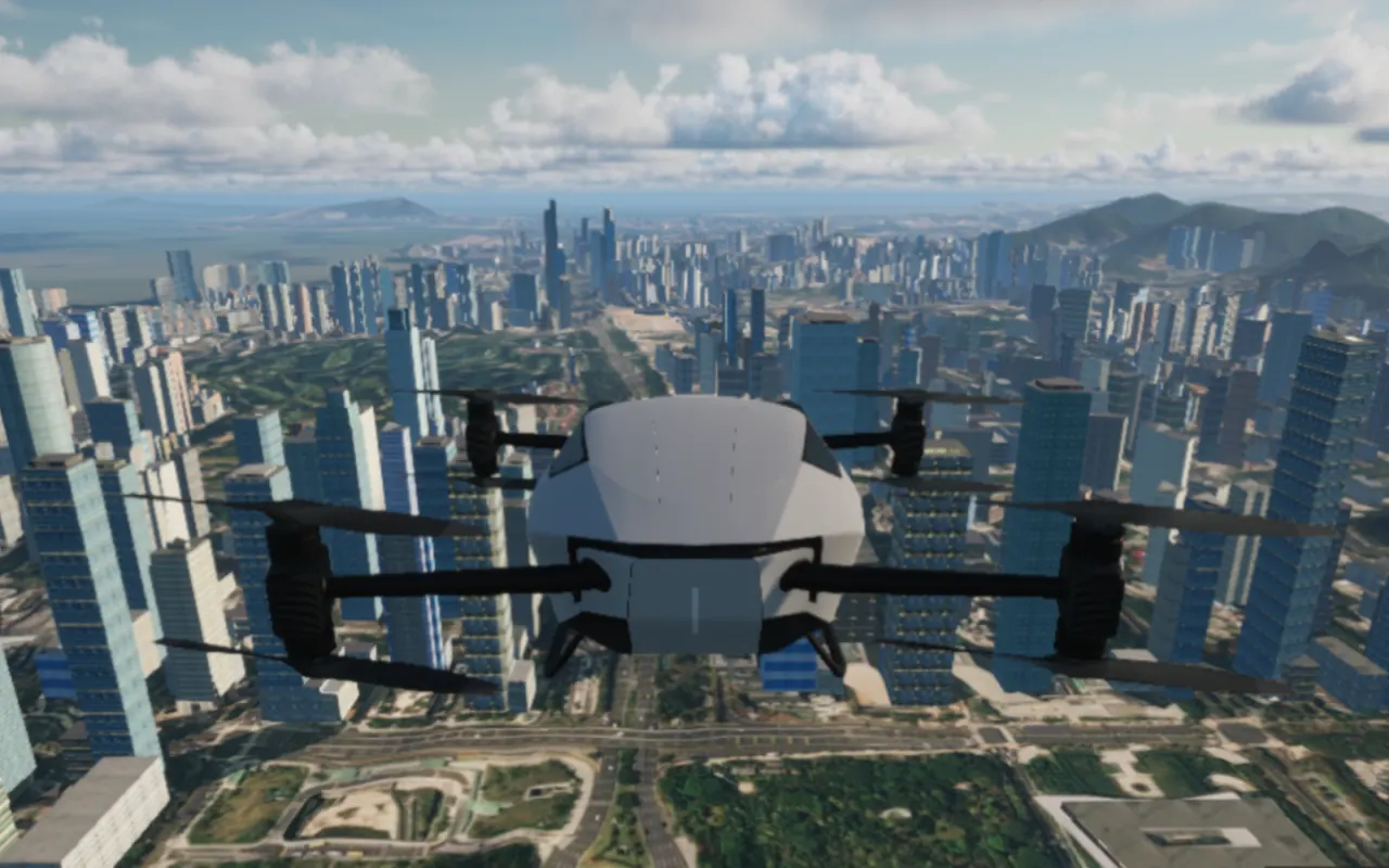 Clear day
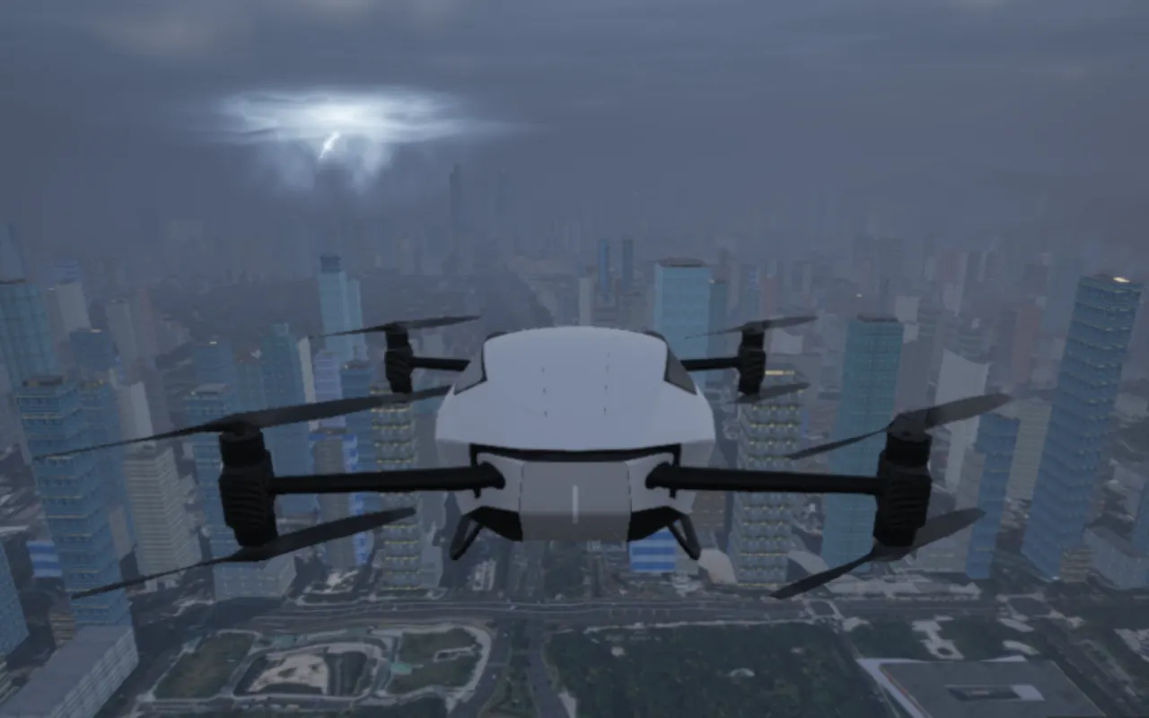 Thunderstorm
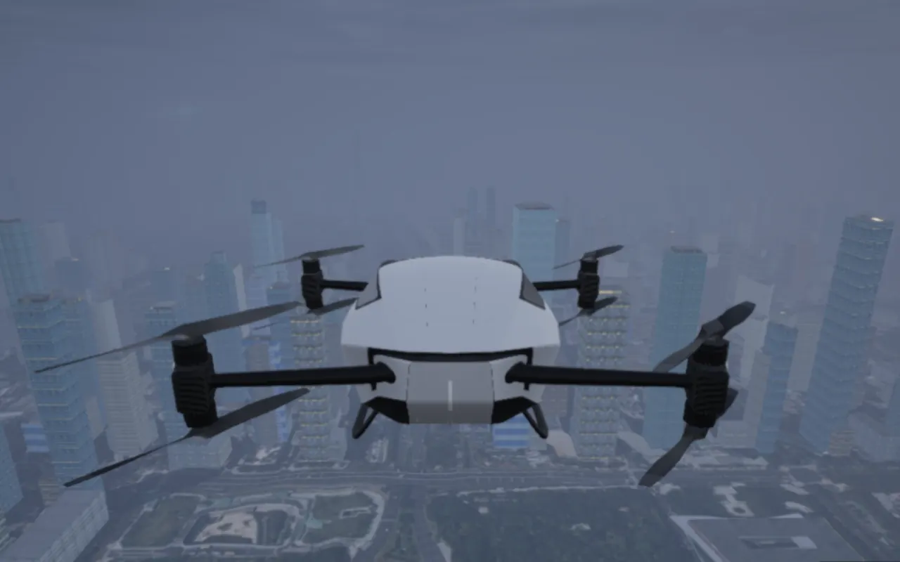 Fog
Our own full-stack 3D flight visualisation: terrain, cities and airports that match the real world, with high-definition city scenes of Beijing, Shanghai, Shenzhen, Guangzhou, Hong Kong, Chengdu and Nanjing, plus high-precision custom scenes for specific cities, airports and campuses.
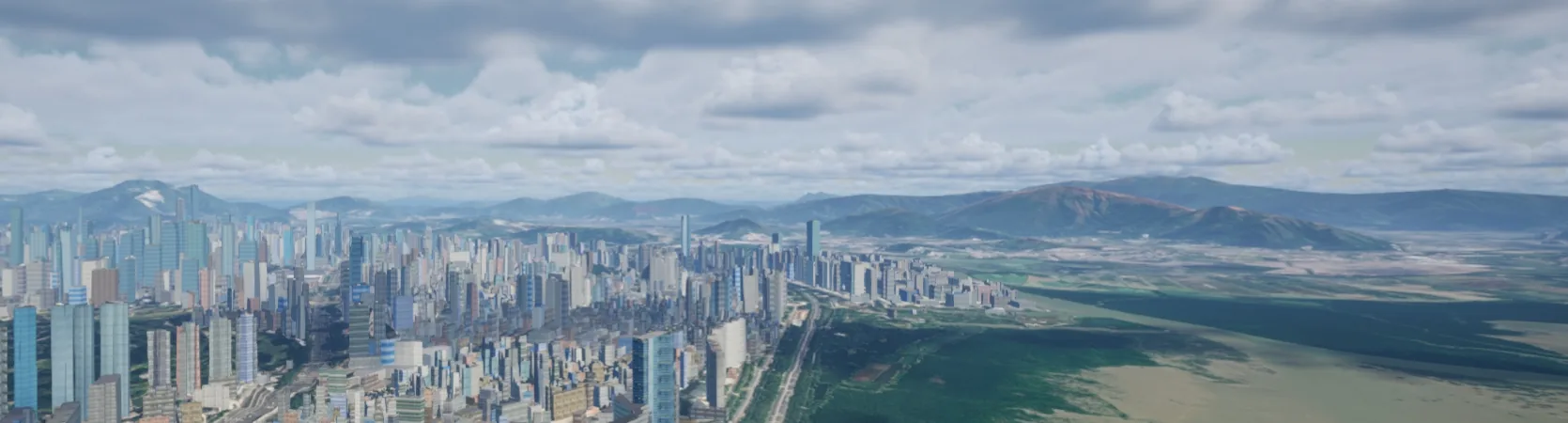 City panorama
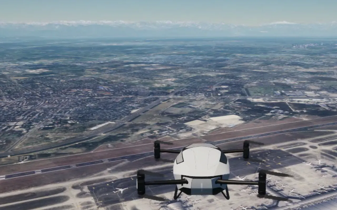 Airport operations
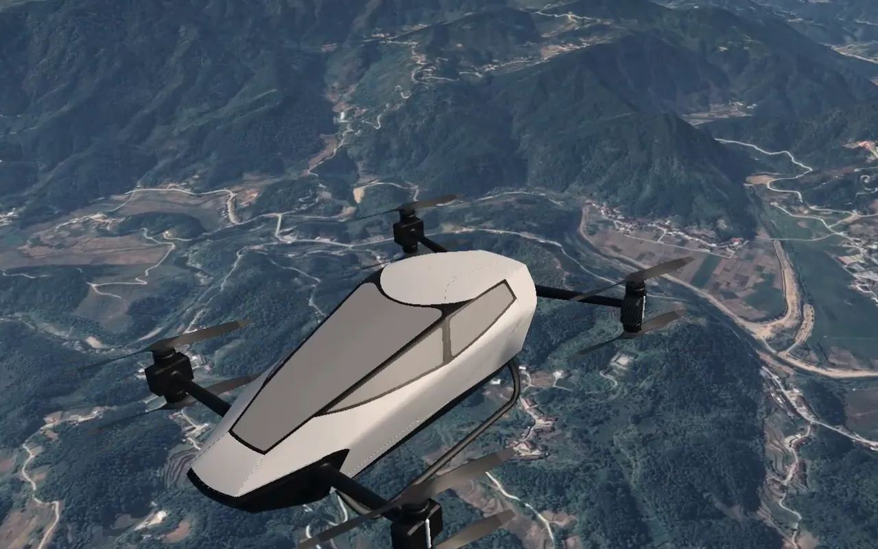 Mountain terrain
We developed this software series to benchmark against top international flight simulators such as Microsoft Flight Simulator and X-Plane, offering the most realistic visuals and the most comprehensive features among domestically developed flight simulators in China.
From sunrise to night, from clear skies to thunderstorms, fog, snow and sandstorms: switch the weather and time of day from the same camera at will, and test again and again in the harshest conditions.
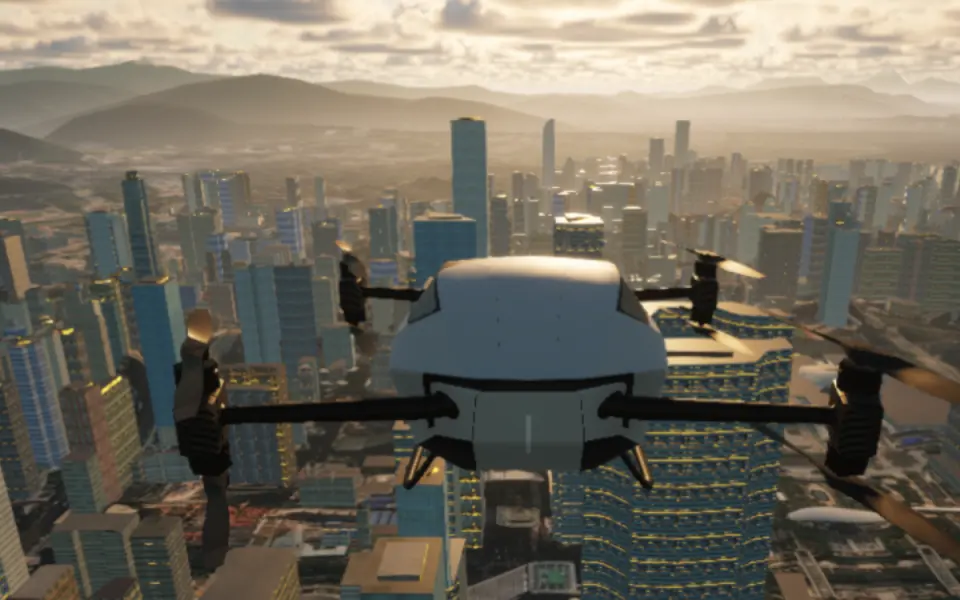 Sunrise06:36
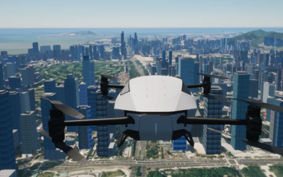 Clear sky11:14
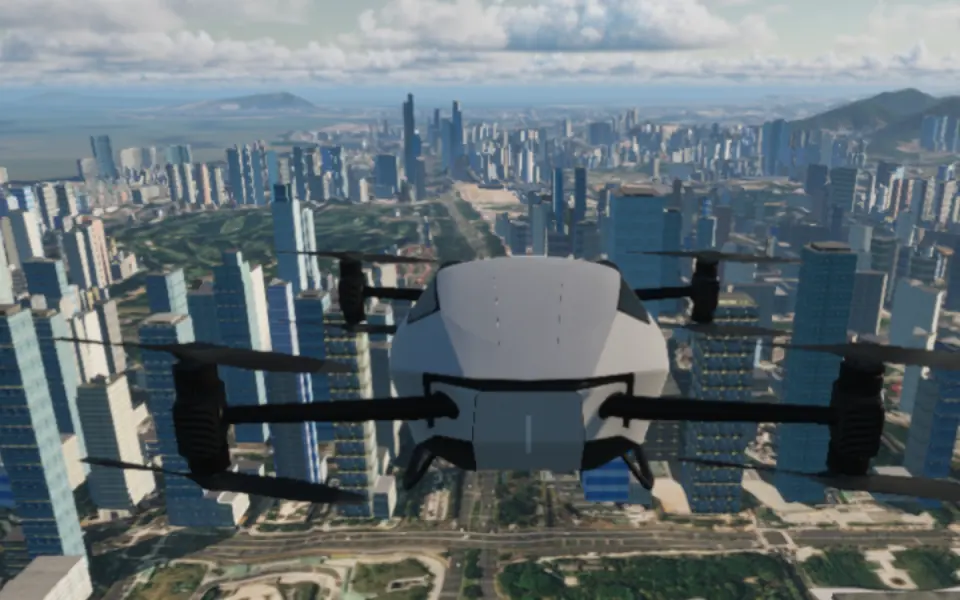 Cumulus16:13
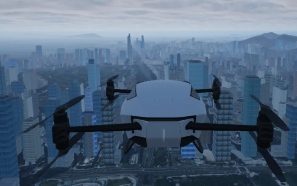 Overcast11:11
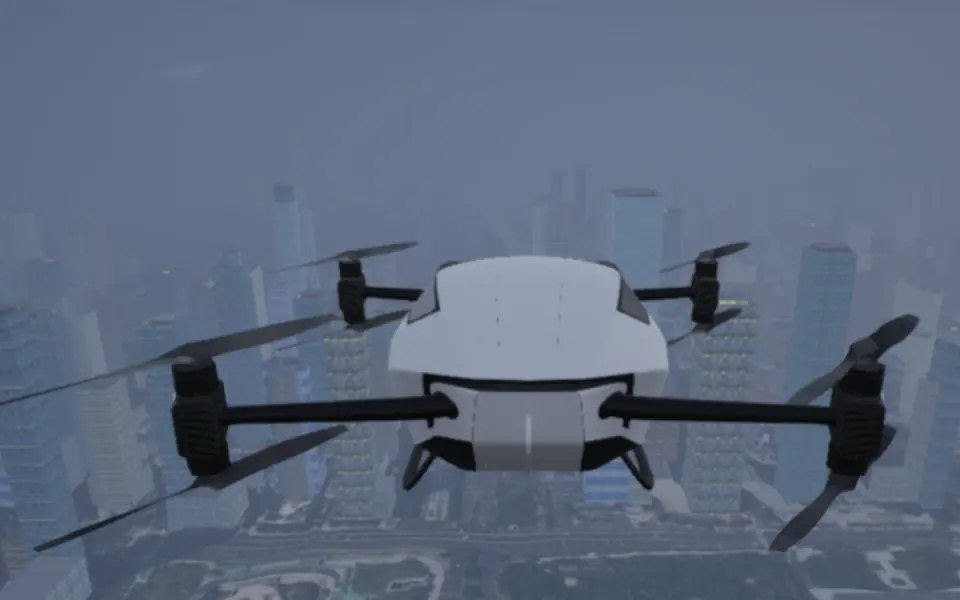 Fog16:08
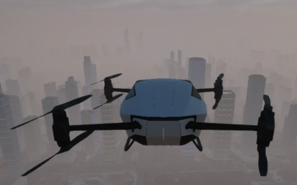 Smog16:05
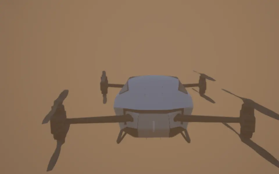 Sandstorm11:13
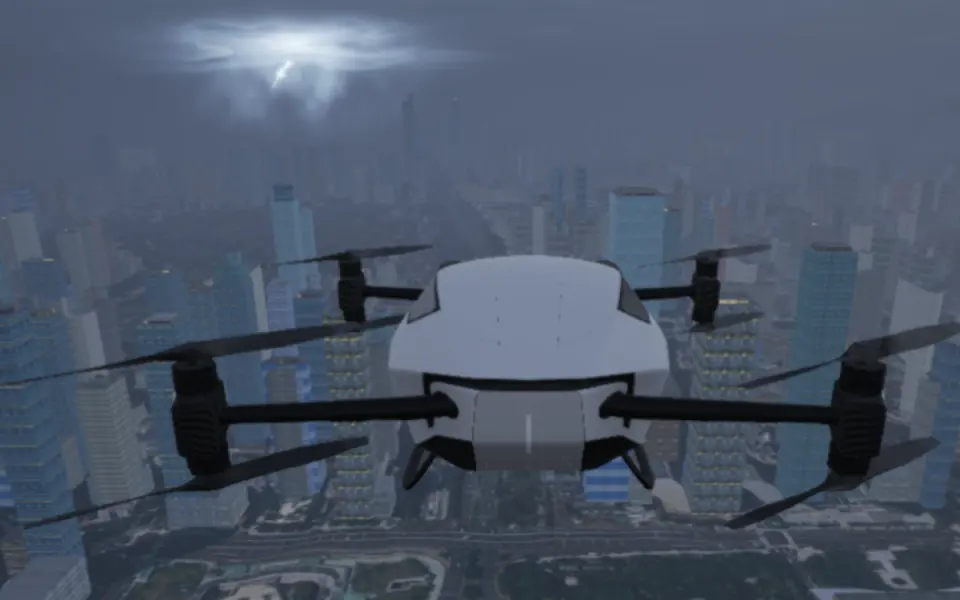 Thunderstorm16:06
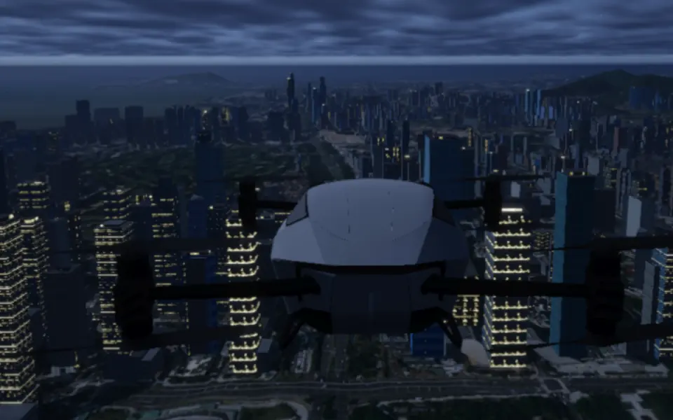 Night21:00
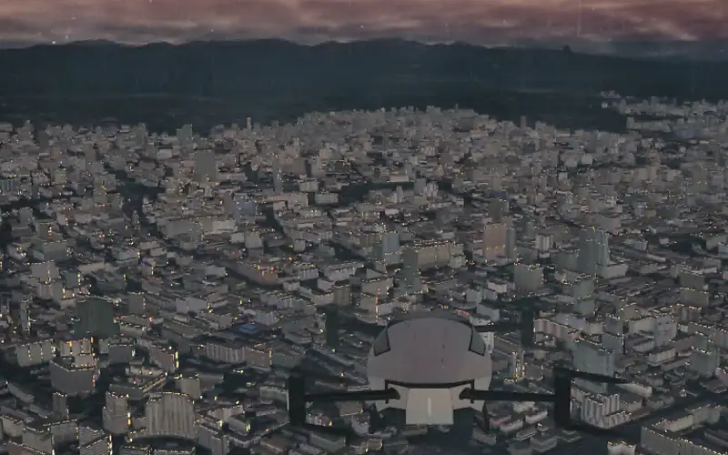 Daybreak07:00
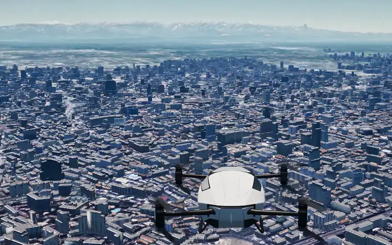 Clear sky13:27
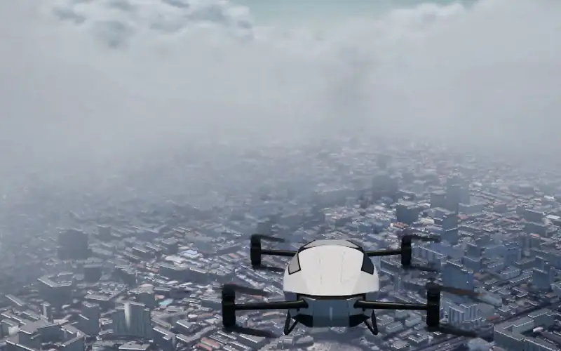 Low cloud13:27
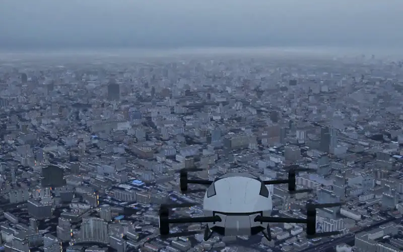 Overcast13:27
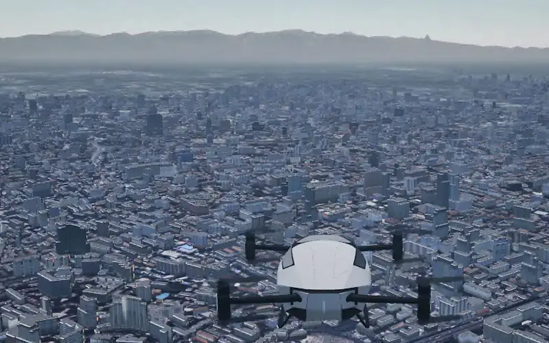 Mist13:27
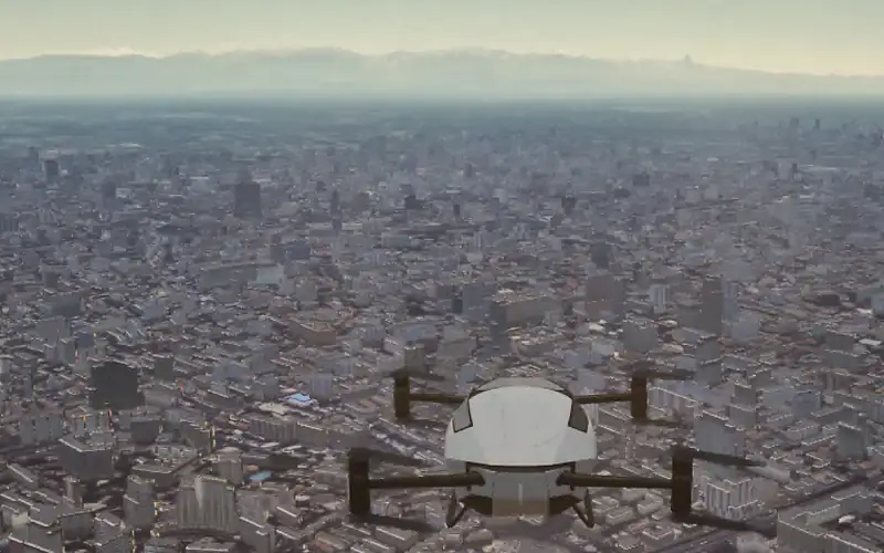 Blowing dust13:27
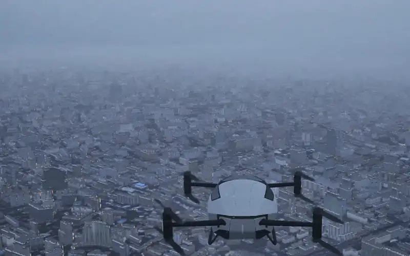 Snow13:27
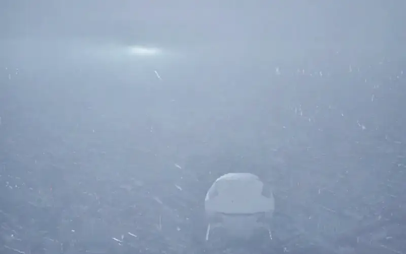 Thunderstorm13:27
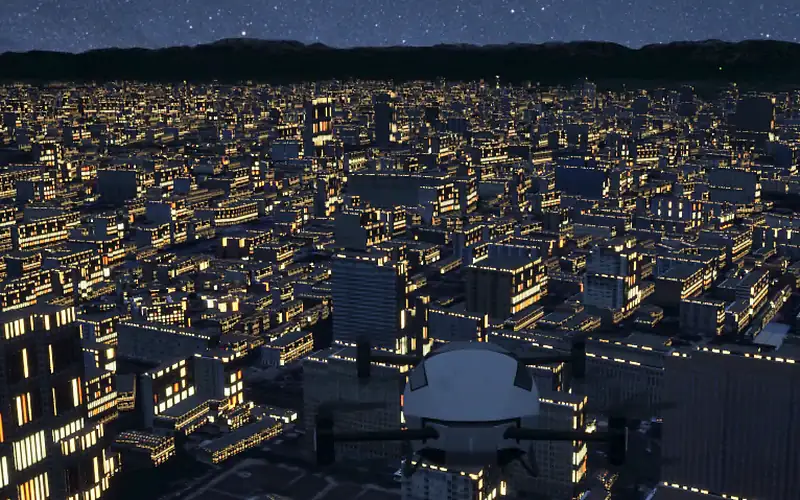 Night21:36
Third-person, side, top-down and tail cameras render in sync with onboard forward and downward views, and you can add custom cameras wherever you need them, for perception training or flight reviews.
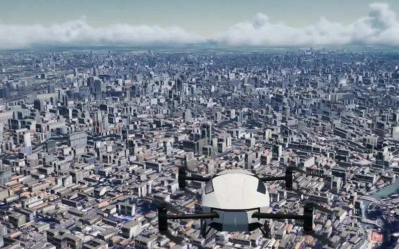 Third-person10:38
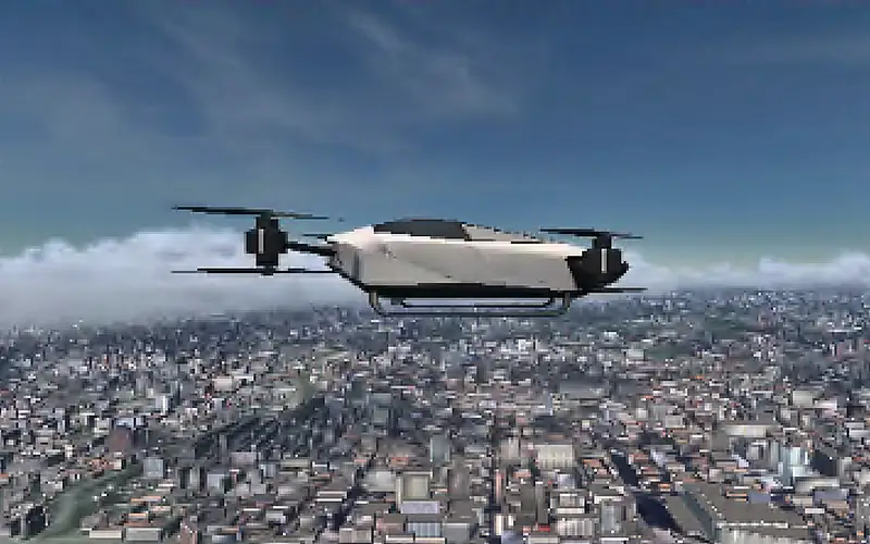 Side10:38
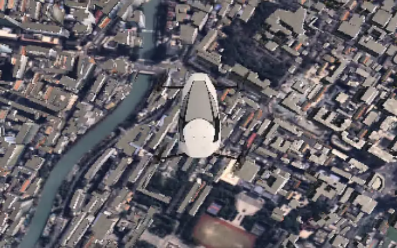 Top-down10:38
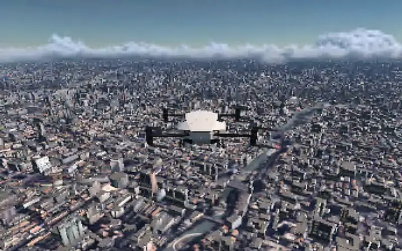 Tail10:38
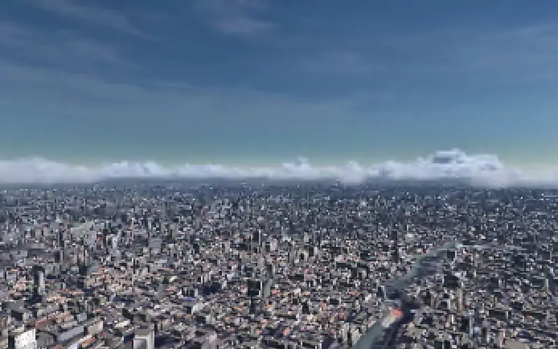 Forward10:38
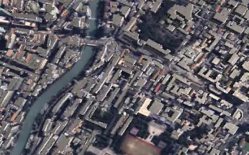 Downward10:38
Camera, infrared, depth, LiDAR and mmWave radar are simulated together in the same scene, producing pixel-aligned sensor data with ground truth, so perception algorithms can be trained and tested in closed loop at scale.

From one aircraft to large fleets: a single scenario runs 50+ aircraft, 50+ weather zones and 50+ restricted zones at once, simulating route networks, traffic flow, formation flight and conflict detection and resolution. Prove urban air mobility works here before it flies for real.
No environment to build and no code to write: pick an aircraft, set up a scenario and run it, and you get flight data you can replay, analyse and export. Use it on the desktop or in the cloud, or deploy it on your own computing cluster.
More than twenty simulation instances run side by side, fully isolated, each at 50 times real time: one night gives you over ten thousand hours of flight data. Sweep aircraft, weather, speed and initial state, or sample them Monte Carlo style, and run your regression tests in batches.
Three levels of aerodynamic analysis to suit the job: instant answers for concept work, minutes for comparing configurations, CFD for sign-off, with 3D flow and pressure fields you can see. Lift, drag and lift-to-drag ratio are solved live in flight; batteries, motors, ESCs and propellers are modelled too, so charge, heat and endurance come out of the same run.
Every simulation run is recorded automatically; finding the one you need among thousands takes seconds.
Filter by aircraft, scenario, date, speed mode and run status, and pinpoint any record among thousands in seconds.
Trajectories with a full set of flight instruments, with altitude, speed, attitude and weather second by second; steep banks, stalls, low altitude and high load factors are flagged automatically.
Overlay several flights and get the differences and errors computed for you, so you see at once what changed and whether it got better or worse.
Generate a flight report in one click, with the analysis written by AI; export the data any time into your own pipeline.
Six-degree-of-freedom dynamics, weather and propulsion are solved together. On an approach into a microburst, a headwind first lifts the aircraft, then the downdraft and tailwind press it down, and every second of lift, drag and thrust comes from real physics.
Airliners, general aviation, drones, eVTOLs, helicopters, gliders, airships and more: twelve classes ready to fly, and custom models built for your aircraft.
Industrial-grade six-degree-of-freedom dynamics from takeoff and landing to the ground roll; inertial, satellite-navigation, airspeed, barometric and radar-altimeter sensors with configurable noise and faults injected on demand.
Wind shear, microbursts, mountain waves, jet streams, icing, thunderstorms, rain, snow and fog; weather that moves, builds and decays, with extreme conditions reproduced on demand.
Batteries, motors, ESCs and propellers modelled as components, so discharge, heat and endurance come out of every run; swap a battery or a motor and compare.
Connect PX4, ArduPilot, MATLAB/Simulink, C/C++ and FMI models directly for software- and hardware-in-the-loop, with a programmable interface into your own toolchain.
Describe the environment, weather and time of day in a sentence and AI builds the test scenario, so rare conditions are always at hand.
The platform measures test coverage across 20+ operating conditions in 5+ groups of the operational design domain (ODD). Coverage is judged from measured flight telemetry, not scenario labels, building traceable evidence for airworthiness testing.
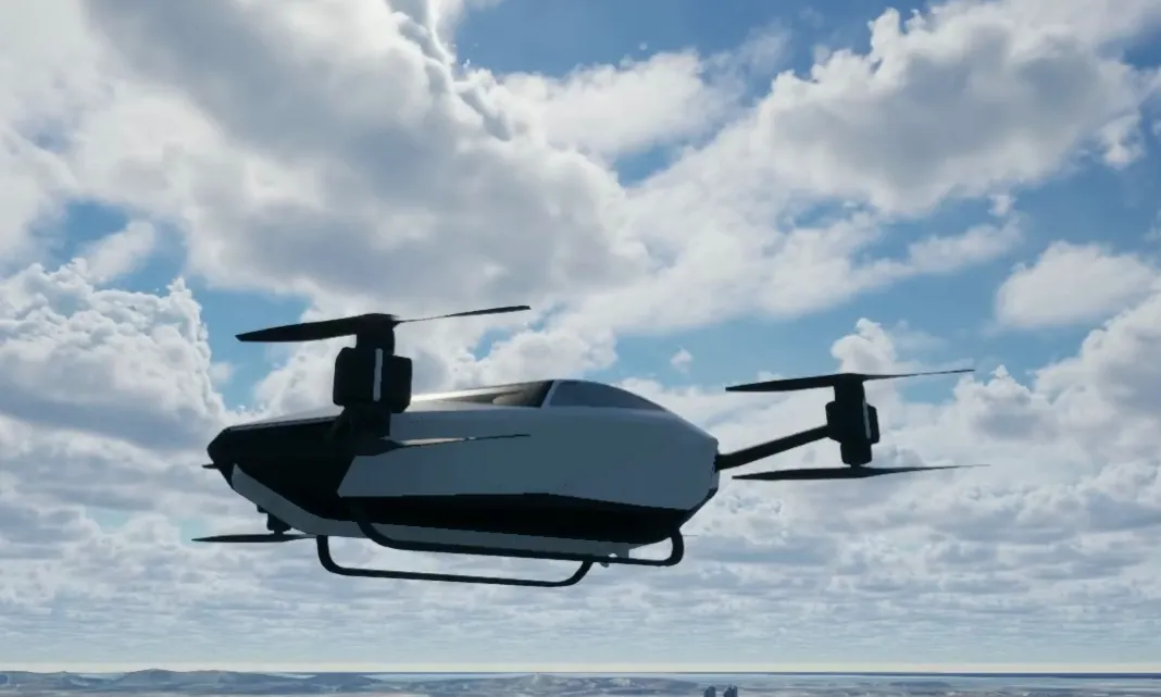
Fly a new configuration in the digital twin first, map its performance and envelope, and cut high-risk flight-test items sharply.
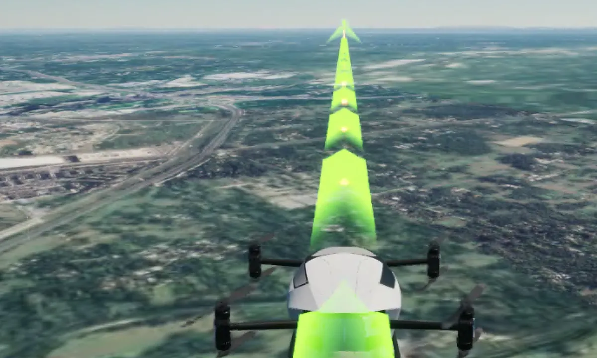
Connect your flight controller and validate it in closed loop across lifelike terrain, cities and weather, with results you can reproduce and compare.
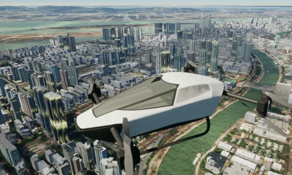
Routes, vertiports and the city around them, all recreated, with whole fleets in the same sky, so operations are rehearsed end to end before launch.
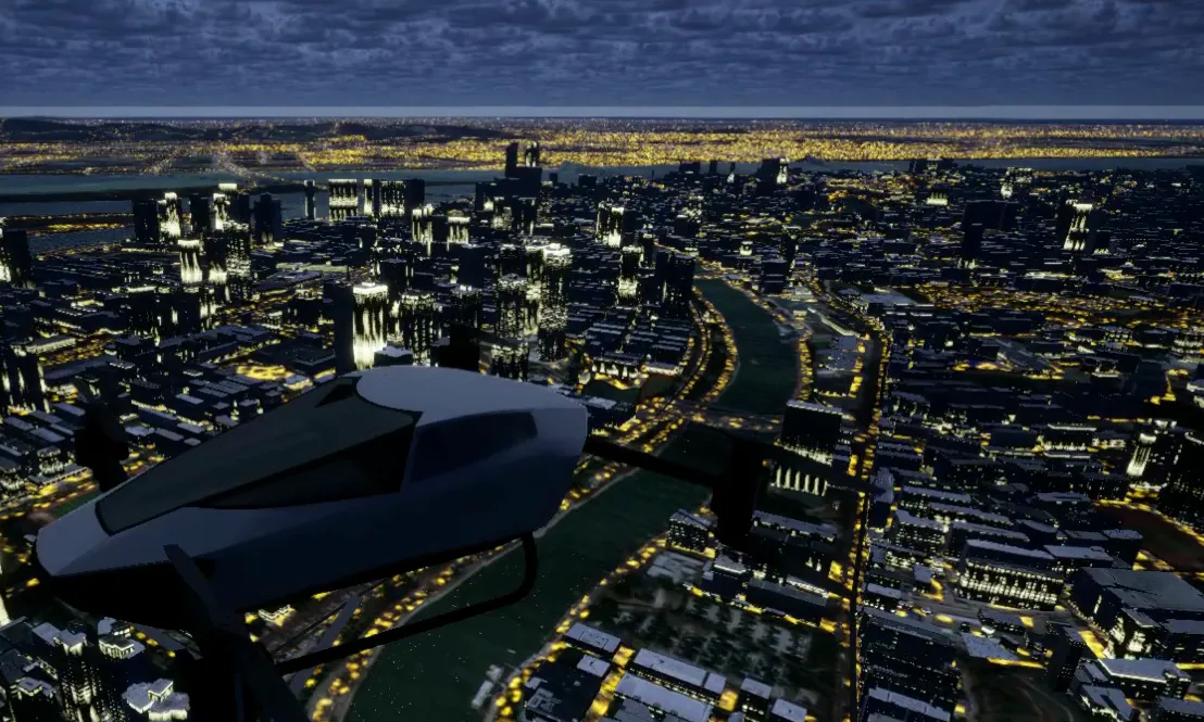
Generate multi-modal sensor data at scale and fly again and again at night and in fog, rain, snow and strong wind, surfacing problems before they happen for real.
Tell us about your aircraft and what you need to prove, and we’ll demo the platform on your own scenario.