Fastest arrival
- Accounts for wind and climb to cut flight time
- For medical and emergency missions, where every minute counts

Terrain, city buildings, airspace and no-fly zones, live weather and your aircraft's performance go into one calculation, and a safe, flyable 3D route comes out in seconds. If the pilot is incapacitated or the link is lost, the aircraft replans on its own.
Cities have towers, the countryside has ridges, airports sit inside controlled airspace, sensitive sites under no-fly zones, and the weather never stops changing. The line that looks shortest is often not flyable at all.
Flight path planning puts every one of these constraints into a single 3D map. Enter the start, the destination and the aircraft type, and it routes around terrain, buildings, no-fly zones and hazardous weather, within the aircraft's climb, turn and energy limits, for the safest and most economical 3D route. Before take-off it plans; in flight it stays on. When the situation changes, so does the route.
Leave one out and a route can cut through a tower, stray into a no-fly zone, fly straight into a storm, or simply be impossible to fly. Five layers, solved together, so every route holds up.
Same start, same destination, different missions, different best routes. Safety margins, cruise speed and climb performance are set per aircraft, routes are smoothed automatically, and options are compared side by side.
Planning once before take-off is not enough. In flight the system keeps checking the route ahead, and when any of these happens it replans on board, without waiting for the ground.
When contact with the ground is lost, replanning starts automatically, to fly on safely or return.
If the pilot cannot fly, the aircraft plans its own way home or to an alternate.
New no-fly zones and temporary airspace restrictions are routed around at once.
A storm or strong wind ahead, and the route changes before the aircraft gets there.
On the aircraft it plans without a network; in the cloud it runs in your browser.
When satellite signals are jammed or denied, visual navigation keeps the position, and the route keeps flying.
Learn moreOffline terrain and building data on board: planning never depends on a network.
Learn moreAircraft and obstacles that appear on the route are detected and avoided in real time.
Learn moreFly a new route a thousand times in the digital twin before it flies for real.
Learn more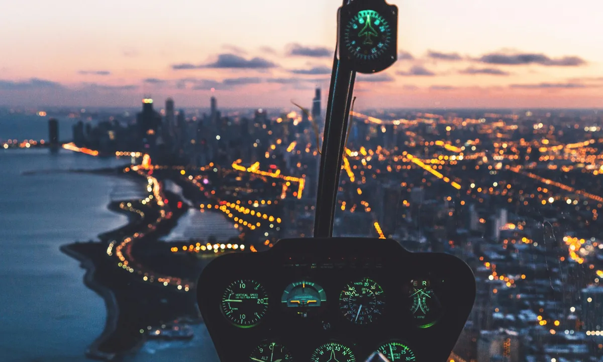
Every route planned between towers, vertiports and controlled airspace, holding the line on passenger safety.
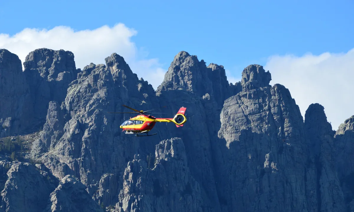
One click plans the fastest reachable route into mountains and disaster zones, around terrain and no-fly zones, to win back the golden hour.
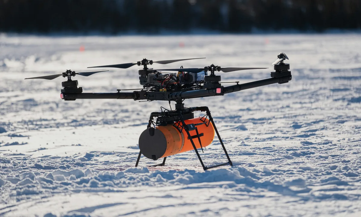
From last-mile deliveries to intercity trunk routes, planned for the aircraft and its energy: fast, and steady.
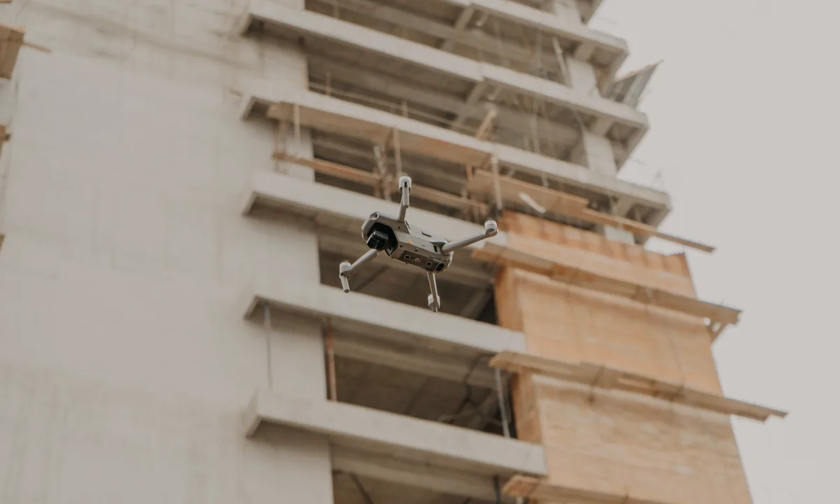
Power lines, pipelines, buildings and city infrastructure: routes that follow the job and steer clear of restricted airspace.
Try the online version free today. For onboard integration, tell us your aircraft and mission and we'll define the solution together.